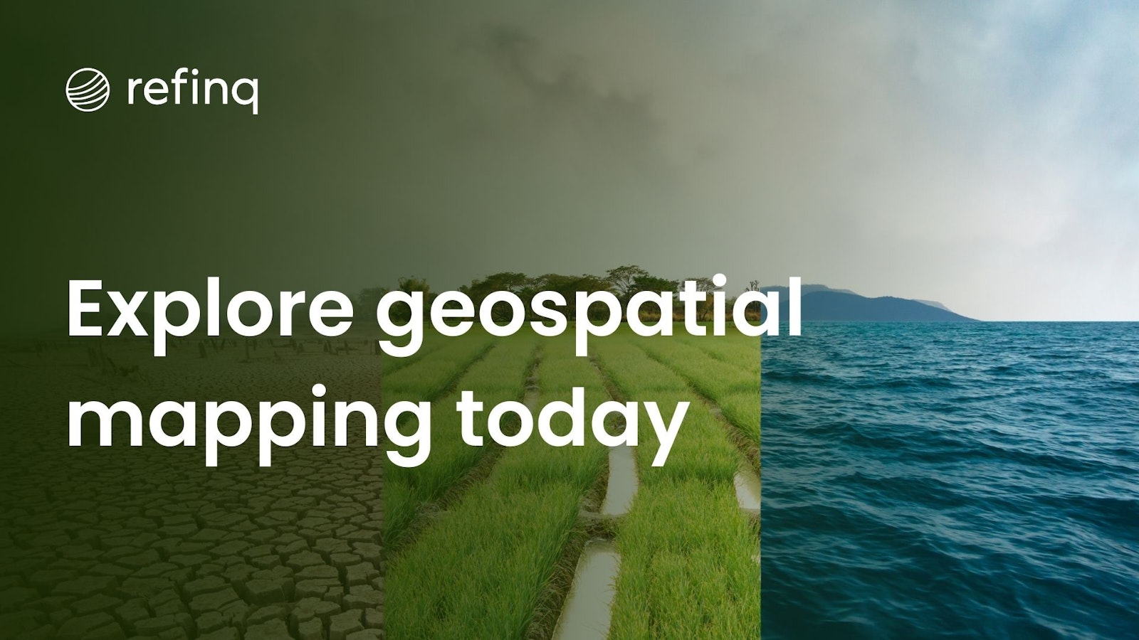
Geospatial analysis integrates various data sources to assess and predict environmental risks accurately. This comprehensive approach allows stakeholders to visualize complex environmental data, identify vulnerable areas, and implement effective strategies to mitigate potential impacts. Tools like Refinq offer state-of-the-art platforms that enhance the precision and usability of geospatial data, ensuring that risk assessments are both reliable and actionable.
Geospatial analysis involves the collection, display, and manipulation of imagery, GPS data, satellite photography, and historical data to understand relationships, patterns, and trends in various geographic contexts. Utilizing Geographic Information Systems (GIS), professionals can analyze spatial and temporal changes in the environment, facilitating the identification of risk factors and the development of mitigation strategies. Techniques such as spatial interpolation, network analysis, and buffer analysis are commonly employed to enhance the accuracy of environmental assessments. For a deeper dive into GIS techniques used in environmental analysis, visit LinkedIn's advice on GIS techniques.
Environmental risk assessment is essential for identifying potential threats to ecosystems, human health, and infrastructure. By evaluating factors such as pollution levels, climate change impacts, and natural disaster susceptibility, stakeholders can prioritize actions to reduce vulnerabilities. Effective risk assessment not only safeguards the environment but also ensures regulatory compliance and promotes sustainable development practices. Comprehensive studies, like the one available on ResearchGate, highlight the critical role of geospatial analysis in enhancing the accuracy and effectiveness of environmental risk assessments.
Geospatial analysis significantly improves environmental risk assessments by providing detailed spatial insights and predictive capabilities. Through high-resolution mapping and real-time data integration, analysts can monitor environmental changes, assess the potential impacts of various risk factors, and forecast future scenarios. This enhanced visibility allows for proactive decision-making and the implementation of targeted interventions. Additionally, the ability to process large datasets with precision ensures that risk assessments are both comprehensive and reliable. For further context, refer to the ScienceDirect article on geospatial platforms.
Several tools and platforms facilitate effective geospatial analysis for environmental risk management. These include traditional GIS software like ArcGIS and QGIS, as well as specialized platforms designed for specific applications. One such platform is Refinq, a pioneering SaaS solution that offers advanced climate and biodiversity risk assessments. Refinq integrates over 2.5 billion data points from earth observation and climate models, providing granular insights up to 25 meters in any global location. Its user-friendly tools and machine learning capabilities enable businesses to navigate nature-related risks with ease, ensuring regulatory compliance and fostering sustainable strategies.
Other notable platforms include CARTO's environmental management solutions, which offer robust mapping and data visualization tools to support comprehensive risk assessments. These platforms empower organizations to harness the full potential of geospatial data, enhancing their ability to manage and mitigate environmental risks effectively.
Geospatial analysis finds application across various industries, each leveraging spatial data to address unique environmental challenges. In the financial sector, platforms like Refinq's due diligence solutions enable institutions to assess the environmental risks associated with their investment portfolios. Similarly, utilities companies utilize Refinq's portfolio impact assessment to evaluate the potential effects of climate change on their infrastructure and operations.
In agriculture, geospatial tools help monitor soil health, water usage, and crop yields, facilitating sustainable farming practices. Urban planners use geospatial analysis to design resilient cities that can withstand natural disasters and other environmental threats. By providing actionable insights, geospatial analysis supports informed decision-making and fosters resilience across various sectors.
Despite its numerous benefits, geospatial analysis for environmental risk assessment faces several challenges. Data quality and availability are primary concerns, as accurate risk assessments depend on reliable and up-to-date information. Additionally, the complexity of integrating diverse datasets can hinder the efficiency of analysis processes. Ensuring interoperability between different geospatial platforms and maintaining data security are also critical issues that need to be addressed.
Furthermore, the sheer volume of data can be overwhelming, necessitating advanced data processing and machine learning techniques to extract meaningful insights. Addressing these challenges is essential for maximizing the potential of geospatial analysis in environmental risk management. For more insights on overcoming these challenges, visit CEA ADAS's article on geospatial analysis.
The future of geospatial analysis in managing environmental risk looks promising, with advancements in technology driving greater precision and efficiency. Emerging trends such as artificial intelligence, machine learning, and big data analytics are set to revolutionize the field, enabling more accurate predictions and real-time monitoring of environmental changes. These innovations will enhance the ability to anticipate and mitigate risks, fostering a proactive approach to environmental management.
Platforms like Refinq are at the forefront of this evolution, utilizing machine learning and extensive data integration to deliver actionable insights. By aligning with international disclosure frameworks and providing audit-ready reports, Refinq ensures that businesses can effectively manage environmental risks while adhering to regulatory standards. As technology continues to advance, the integration of sophisticated geospatial tools will play a pivotal role in shaping sustainable and resilient futures.
Geospatial analysis is an indispensable tool in the realm of environmental risk management, offering unparalleled insights and predictive capabilities. By harnessing the power of spatial data, organizations can identify vulnerabilities, implement targeted interventions, and promote sustainable practices. As the complexity of environmental challenges grows, the need for advanced geospatial solutions becomes increasingly critical.
Enter Refinq, a pioneering SaaS platform that elevates environmental risk management to new heights. Refinq's comprehensive approach, leveraging machine learning and extensive data integration, empowers businesses to navigate nature-related risks with precision and confidence. By providing real-time risk evaluations and aligning with international regulatory frameworks, Refinq ensures that organizations can proactively address environmental challenges while fostering sustainability. Embracing Refinq's innovative solutions not only enhances the effectiveness of geospatial analysis but also drives meaningful progress towards a resilient and sustainable future.